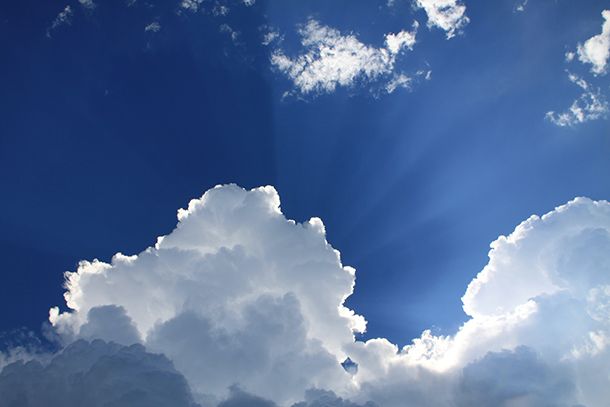
Stratocumulus clouds
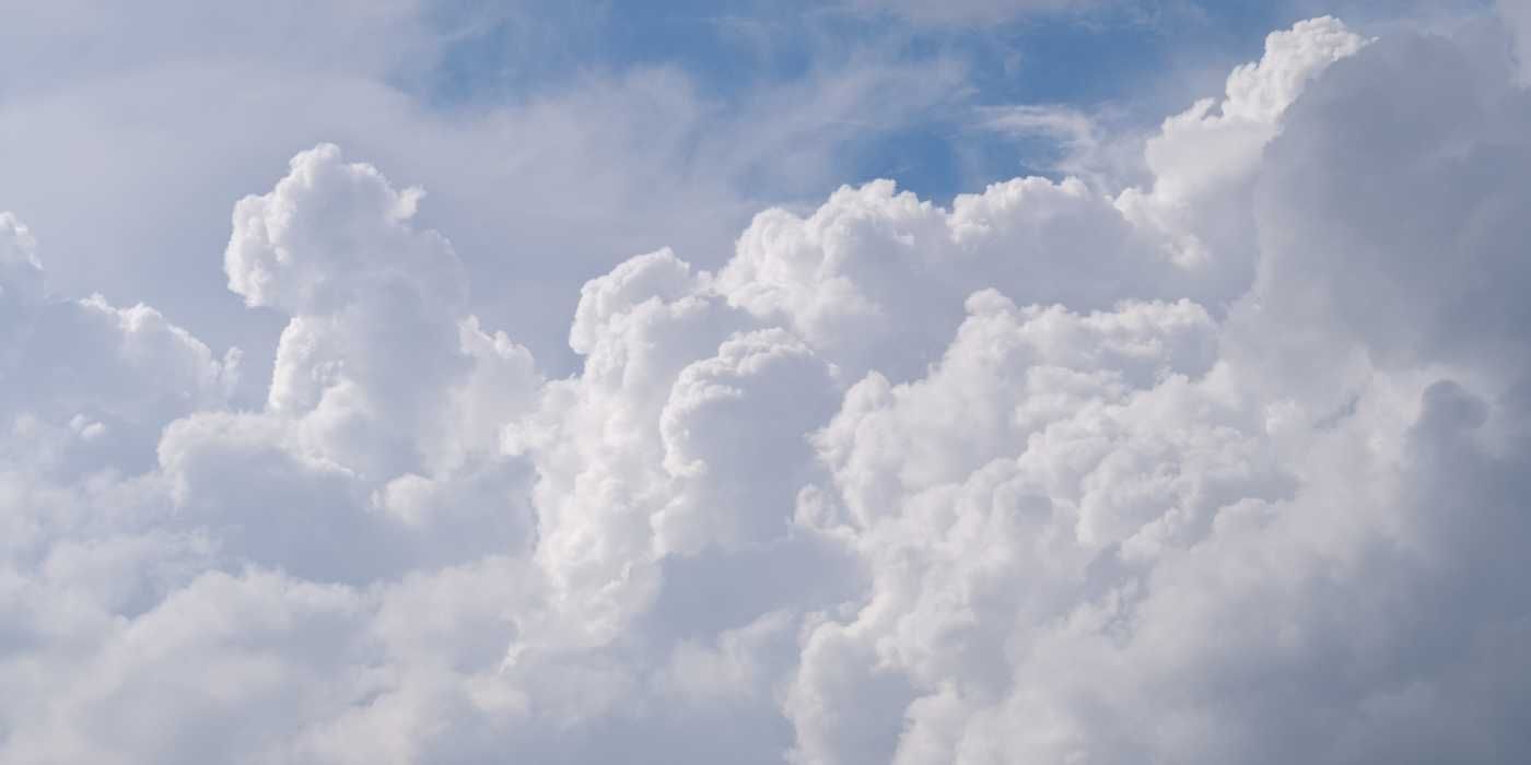
A low-level cloud that forms a grey or white layer clumped clouds. The groups can be in waves or lines of conjoined clouds
Characteristics.
Low-level clouds that have puffy clumps. They are a mixture of cumulus and stratus in one and as such there are many different subgroups. They can vary from bright white to dark grey and can have gaps so you can see the sky.
What's in a name?
Stratus- to spread out, extend, flatten, layer. Cumulus-heap
How was it made?
In order for Stratocumulus clouds to form you first need the conditions for stratus. As these conditions become less settled and calm the Stratos clouds start to break and clump-forming Stratocumulus clouds.
What weather will you have if these are overhead?
It could be dry or it could drizzle although it is unlikely to be from the Stratocumulus clouds as they rarely form precipitation.
How high is it?
Anywhere from 400m (1200ft) up to 2000m (7000 ft).
The outcome for you.
It's going to be an interesting day with sunshine and perhaps drizzle but you should get to see the sun. A great time to see many different cloud shapes.
I do hope you have enjoyed this article and hope that you will subscribe to my newsletter so you can get the latest information about all things naturally relaxing.
Stay in touch, join the Naturally Relaxing Newsletter
Newsletter Signup
Post Your Comments
or post as a guest
Be the first to comment.
Latest articles in Weather

Winter Getaways: Escape the Chill with These Enchanting Winter Destinations

Embrace Autumn's Coziness: Finding Comfort in the Magic of the Season
Understanding Seasons: Discover the Symbolic Meanings of the Four Seasons
Embracing Autumn: Your Ultimate Guide to Seasonal Preparation and Trends

Essential Tips for Staying Cool and Safe During a Scorching Heat Wave


